
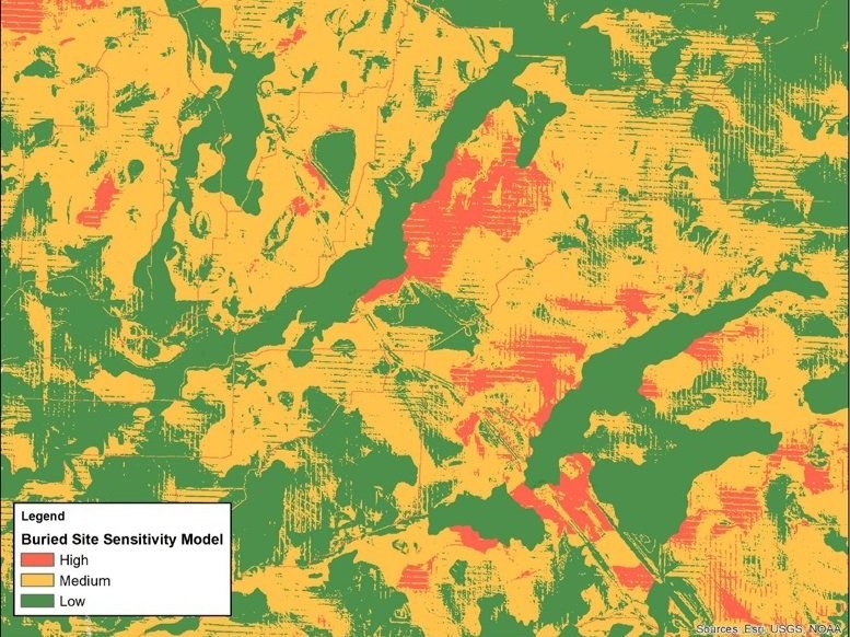
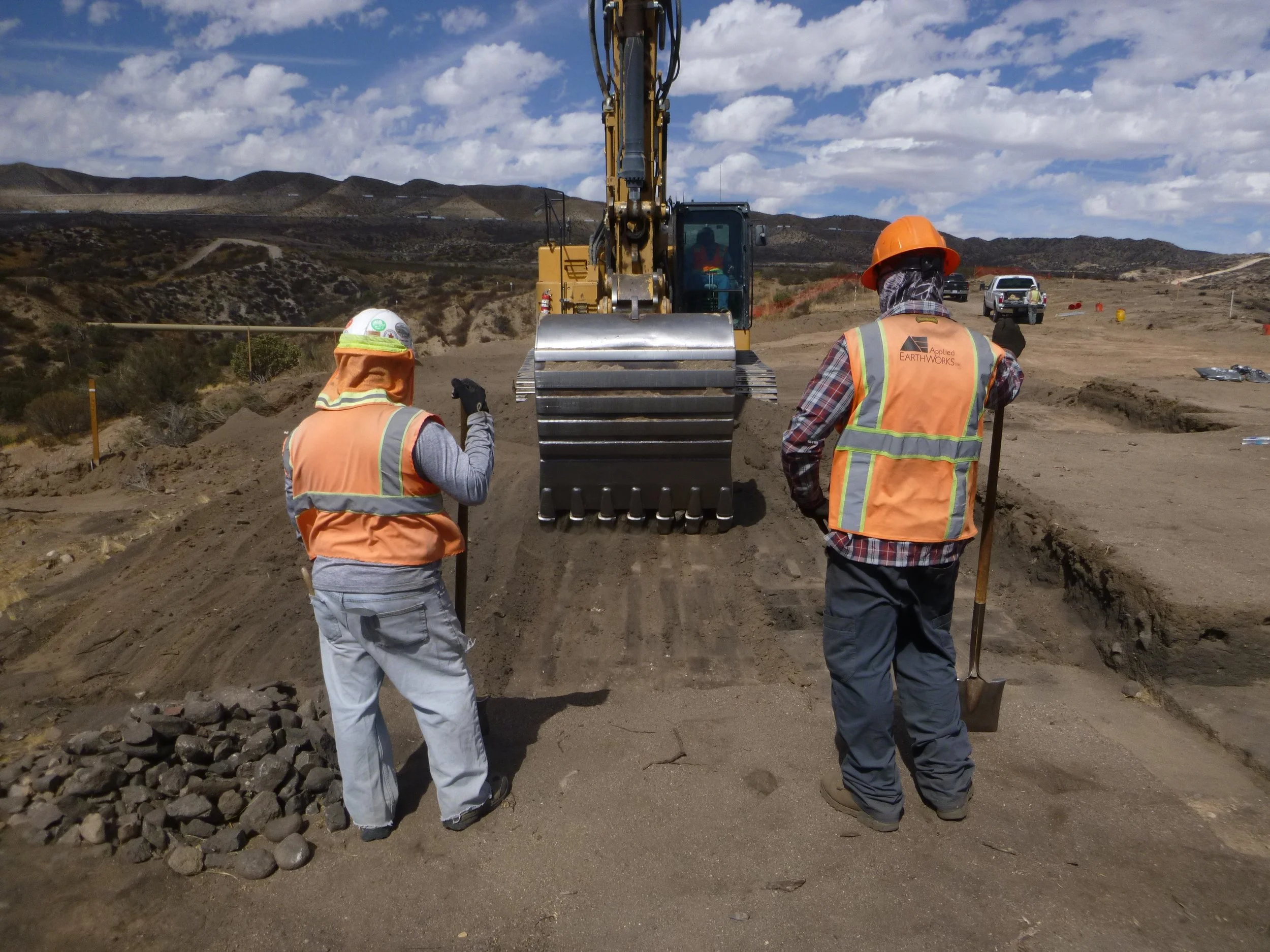
Applied EarthWorks offers a variety of Geographic Information System (GIS) services that include spatial data collection, GIS database development, mapping, analysis, and spatial modeling.

We utilize the latest GIS and GPS technology and techniques to streamline work flow and efficiently produce accurate cartographic products to support our cultural investigations.
GIS is used as a project management tool from field data collection to final products. Our experienced GIS staff provides efficient, accurate, and timely GIS products and services to meet clients' needs. We can also provide GIS training for clients from basic to more advanced ArcGIS software utilization.
gis SERVICES
GIS mapping, analysis, and spatial modeling
Data management and integration
Processing data with both vector and raster data models
GIS database development
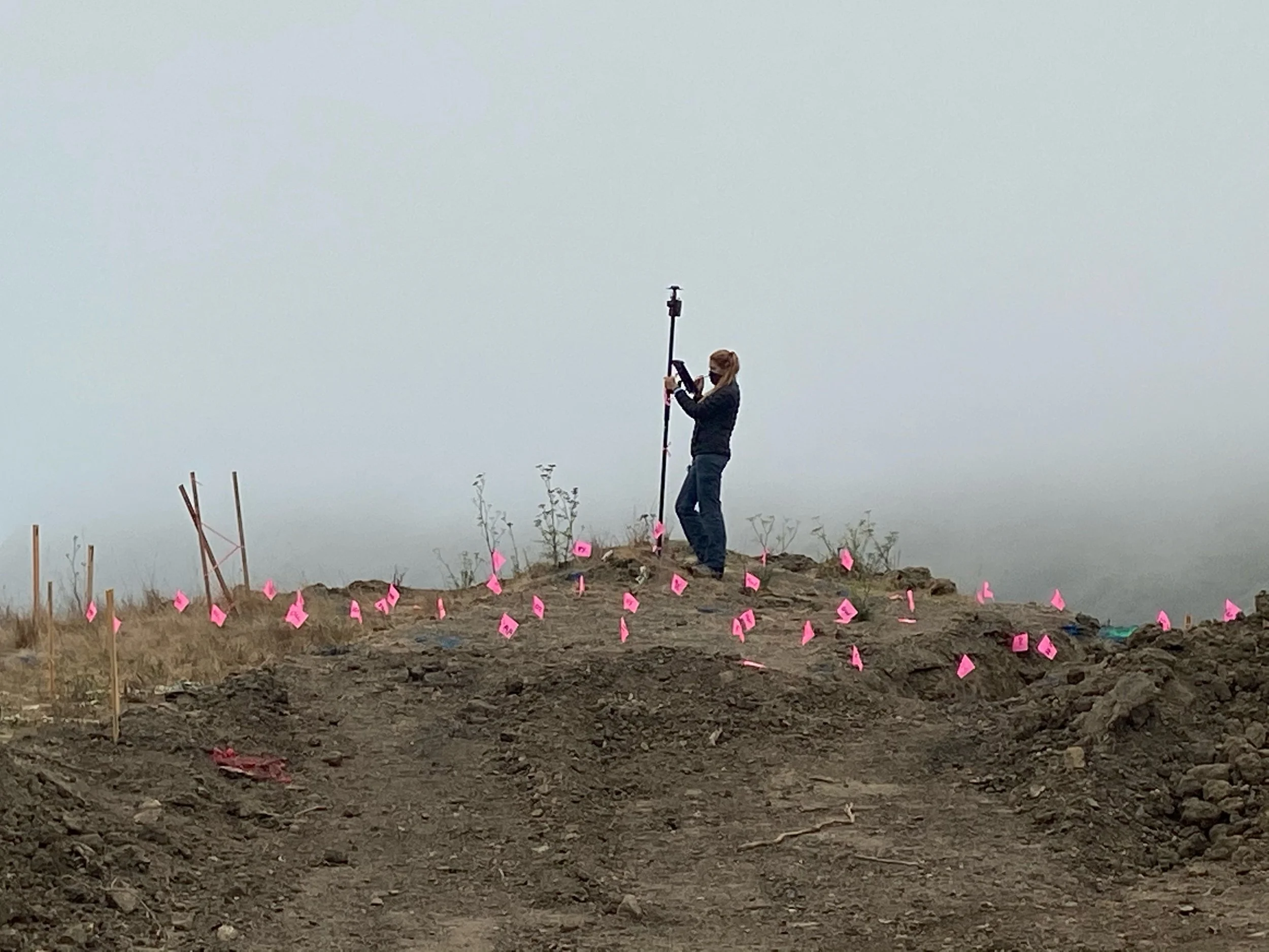
GPS field data collection and post processing
Areas of GIS Experience
Project Management
Cultural Resource Management
Paleontological Resource Management
Photogrammetry
Three-Dimensional (3D) Mapping
Virtual Tour/ Virtual Reality
Products
Feasibility Studies
Alternative Analyses
Geoarchaeology
Viewshed Development and Modeling
Area of Potential Effects Mapping
3D Models/ 3D Mapping
Google Earth 2D/ 3D Maps and Visualization
Virtual Site Tours
Cost surface modeling and Least-Cost path analysis

Resources
ESRI Products and Applications:
ArcMap and ArcGIS Pro 3.X with Spatial Analyst Extensions
ArcGIS Online
Survey123
Field Maps
EOS Arrow 100 and Arrow Gold RTK GNSS Receivers
Agisoft Metashape Professional
Pano2VR
QGIS